Map of Churchill and Nelson rivers with control structures and generating stations.
Enlarge image: Map of Churchill and Nelson rivers with control structures and generating stations.
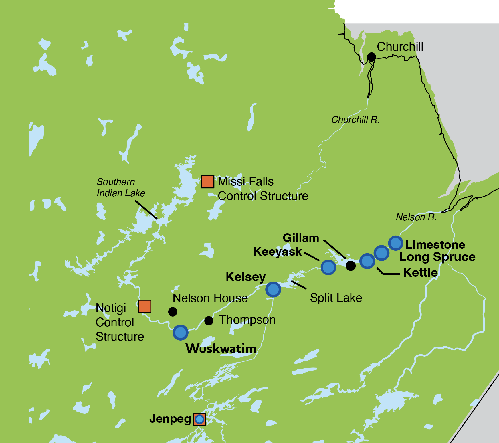
Churchill River (Southern Indian Lake to Hudson Bay)
Fall freeze-up on the Lower Churchill River is expected to start in early-to mid-November.
This summer brought well below average to record low precipitation throughout the province including the Churchill River Basin.
Inflow to Southern Indian Lake (SIL) from Saskatchewan is about 21,000 cubic feet per second (cfs). Last year it was around 15,000 cfs. Inflows are below average for this time of year (35,000 cfs). The water level on Southern Indian Lake is 846.4 ft, which is slightly below last year’s level of 847 ft. The lake level is expected to begin dropping in November as outflows from the Notigi and Missi Falls Control Structures are increased. Outflows from SIL at the Missi Falls Control Structure have been low all summer in response to the Churchill River drought conditions. Current Missi outflows are around 2,300 cfs with a planned increase to 4,250 cfs by the end of October as required by Environment Act licence.
Water levels of the downstream lakes are similar to those experienced in 2024 due to another dry year in the Churchill River Basin. Like last year, water levels of downstream lakes will be rising in November due to Missi outflow increases in October.
Partridge Breast Lake is 793.9 ft. Last year it was 793.9 ft. Northern Indian Lake is 770.1 ft, same as 2024. Fidler Lake is 752.2 ft, same as 2024. Billard Lake is 616.4 ft. In 2024 it was 616.2 ft.
Water level at the CR30 Pumphouse is 15.5 ft and is expected to gradually decline in the first week of November then to remain fairly steady for another two weeks.
The Outlook is based on a combination of current and forecasted weather data from Environment and Climate Change Canada; recent and historic streamflow conditions based on both federal and Manitoba Hydro data; and Manitoba Hydro regulation models for Reindeer Lake and SIL.
Flows on the Lower Churchill River are influenced by upstream inflows, control structure operations, precipitation, temperatures, and inflows from local tributaries. Conditions can change rapidly if a large rainfall or snowfall event occurs or ice jamming. Outlook information will be updated as conditions change.
If you have any questions or concerns, please contact:
Andrea Lamboo Miln
Waterway Community Engagement
204-360-3505
WCE@hydro.mb.ca