Burntwood, Lower Churchill, and Nelson rivers #2, Spring 2024
Spring water outlook for northern Manitoba rivers
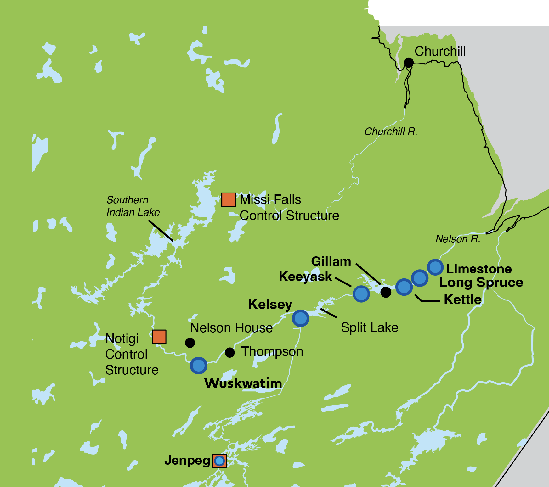
Map of Churchill and Nelson rivers with control structures and generating stations.
Enlarge image: Map of Churchill and Nelson rivers with control structures and generating stations.
Churchill River and Nelson River Basins
Due to many drier than normal months, water levels along the Lower Churchill River, Burntwood River and Nelson River are projected to be well below average this spring. Near record 40-year low levels may be experienced at some locations.
Water conditions across both the Churchill and Nelson River basins have been dry for numerous months. While precipitation amounts have improved over the past month, it is still much drier than normal. Precipitation amounts since April 2023 are the lowest in the last 30 years on record, and precipitation since the start of November is at a 1 in 10-year low.
Flow on the Churchill River entering Southern Indian Lake is near the lowest it has been in 40 years and is expected to rise modestly but remain below a 10-year low during the spring melt. Nelson River flow is at a 1 in 10-year low and expected to remain below average through the spring.
Manitoba Hydro closely monitors water supply conditions across the entire Nelson-Churchill River drainage basin and updates its forecasts and operating plans weekly to ensure adequate energy supply.
Drought is a central focus in Manitoba Hydro’s planning, design and operation of its generating stations, reservoirs, and interconnections. Changes in precipitation can impact Manitoba Hydro’s operations and water levels across the system.
Long-term precipitation forecasts are unreliable and there remains uncertainty in water level projections for the late spring and summer period. Manitoba Hydro will continue to provide spring outlooks for the Lower Churchill, Burntwood and Nelson Rivers in the coming weeks.
*Spring flows depend on how long it takes for snow to melt (for example, warm temperatures will cause a fast melt and higher water flows, while cooler temperatures will cause a slow melt and moderate flows for a longer period of time). Conditions can also change rapidly if a large rainfall or snowfall event occurs. Outlook information will be updated as conditions change.
The Outlook is based on a combination of current and forecasted weather data from Environment and Climate Change Canada; recent and historic streamflow conditions based on both federal and Manitoba Hydro data; Manitoba Hydro regulation models for Reindeer Lake and Southern Indian Lake; snow surveys conducted by Manitoba Hydro; and snowpack estimates from satellite data.
If you have any questions or concerns, please contact:
Waterway Community Engagement
204-360-3505
WCE@hydro.mb.ca