Whiteshell Park lakes #8
Weekly water levels for lakes on the Winnipeg River
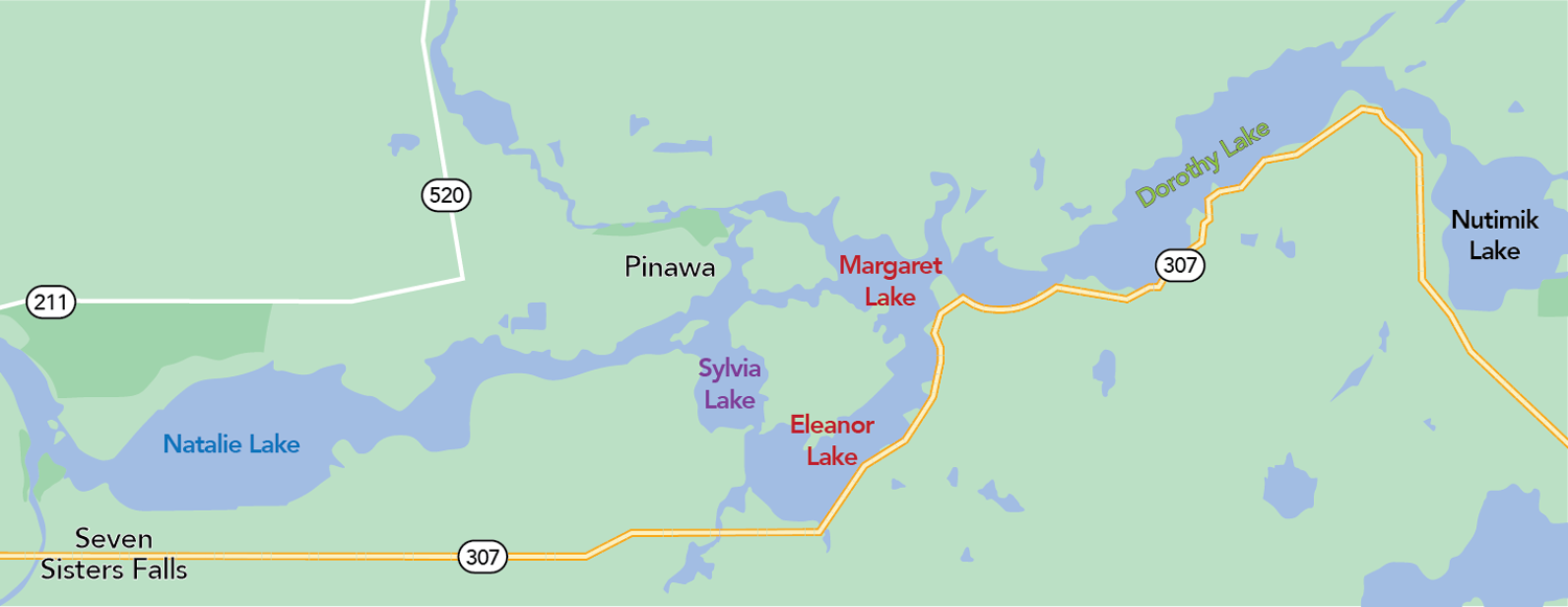
Map of Whiteshell Park lakes.
| Lake | Difference from average level for date (+/−) | Expected drop (−)/rise (+) over next 7 days |
|---|---|---|
| Nutimik Lake | +2.39 m (+7.8 ft) | -0.09 m (−0.30 ft) |
| Dorothy Lake | +2.12 m (+7.0 ft) | −0.07 m (−0.23 ft) |
| Margaret/Eleanor Lake | +1.76 m (+5.8 ft) | −0.09 m (−0.30 ft) |
| Sylvia Lake | +0.44 m (+1.5 ft) | −0.08 m (−0.26 ft) |
The Winnipeg River receives most of its water from Ontario’s Lake of the Woods and Lac Seul, these flows are regulated by the Lake of the Woods Control Board. Manitoba Hydro models the expected rise and fall for lakes on the Winnipeg River downstream of Slave Falls generating station based on flows set by the LWCB, unregulated tributary flows, and expected precipitation.
Please note:
- Operations of Caribou Falls generating station in Ontario and local precipitation may cause daily fluctuations in levels.
- Manitoba Hydro’s generating stations on the Winnipeg River pass on all the water received from upstream – generally referred to as “run-of-river”.
- Weekly forecasts are provided during open water season.
If you have any questions or concerns, please contact:
Dale Hutchison
Waterway Community Engagement
204-360-3505
WCE@hydro.mb.ca